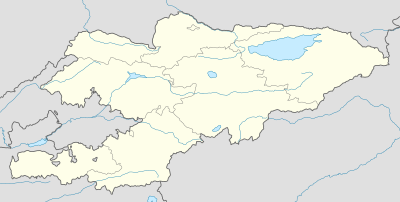
الگو:روی نقشه قرقیزستان
ظاهر
| نام | قرقیزستان | |||
|---|---|---|---|---|
| مختصات مرزها | ||||
| 43.5 | ||||
| 69.0 | →↕← | 80.6 | ||
| 39.0 | ||||
| وسط نقشه | ۴۱°۱۵′شمالی ۷۴°۴۸′شرقی / ۴۱٫۲۵°شمالی ۷۴٫۸°شرقی | |||
| تصویر | Kyrgyzstan location map.svg
| |||

| ||||
| تصویر۱ | Relief Map of Kyrgyzstan.png
| |||

| ||||
طرز استفاده
[ویرایش]This template normally displays the map shown above as image:
- Kyrgyzstan location map.svg.
The AlternativeMap parameter in Template:Location map can be used to display the following image:
- Relief Map of Kyrgyzstan.png
Further instructions and examples can be found at Template:Location map#Using Alternative Map.
