
پرونده:La Réunion department location map.svg

حجم پیشنمایش PNG این SVG file:۶۴۵ × ۶۰۰ پیکسل کیفیتهای دیگر: ۲۵۸ × ۲۴۰ پیکسل | ۵۱۶ × ۴۸۰ پیکسل | ۸۲۶ × ۷۶۸ پیکسل | ۱٬۱۰۲ × ۱٬۰۲۴ پیکسل | ۲٬۲۰۳ × ۲٬۰۴۸ پیکسل | ۱٬۰۳۷ × ۹۶۴ پیکسل.
پروندهٔ اصلی (پروندهٔ اسویجی، با ابعاد ۱٬۰۳۷ × ۹۶۴ پیکسل، اندازهٔ پرونده: ۱۱۳ کیلوبایت)
این پرونده در ویکیانبار موجود است. محتویات صفحهٔ توصیف آن در زیر نمایش داده میشود. |
خلاصه
| مختصات دوربین | | محل قرارگیری این نگاره و سایر نگارهها در: نقشهٔ شهری باز |
|---|
| توضیح |
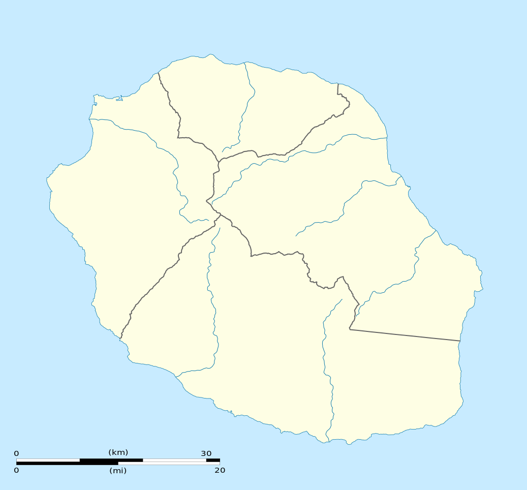
English: Blank physical map of the region and department of Réunion, France, for geo-location purpose.
Français : Carte physique vierge de la région et département de La Réunion, France, destinée à la géolocalisation. Scale: 1:300,000 (precision: 75 m)
Geographic limits of the map:
|
||
| تاریخ | |||
| منبع |
اثر شخصی
|
||
| پدیدآور | Eric Gaba (Sting - fr:Sting) | ||
| اجازهنامه (استفادهٔ مجدد از این پرونده) |
|
||
| دیگر نسخهها |
|

اجازهنامه
من، صاحب حقوق قانونی این اثر، به این وسیله این اثر را تحث اجازهنامههای ذیل منتشر میکنم:
این پرونده با اجازهنامهٔ کریتیو کامانز Attribution-Share Alike 3.0 سازگار نشده منتشر شده است.
- شما اجازه دارید:
- برای به اشتراک گذاشتن – برای کپی، توزیع و انتقال اثر
- تلفیق کردن – برای انطباق اثر
- تحت شرایط زیر:
- انتساب – شما باید اعتبار مربوطه را به دست آورید، پیوندی به مجوز ارائه دهید و نشان دهید که آیا تغییرات ایجاد شدهاند یا خیر. شما ممکن است این کار را به هر روش منطقی انجام دهید، اما نه به هر شیوهای که پیشنهاد میکند که مجوزدهنده از شما یا استفادهتان حمایت کند.
- انتشار مشابه – اگر این اثر را تلفیق یا تبدیل میکنید، یا بر پایه آن اثری دیگر خلق میکنید، میبایست مشارکتهای خود را تحت مجوز یکسان یا مشابه با ا اصل آن توزیع کنید.

|
اجازهٔ کپی، پخش و/یا تغییر این سند تحت شرایط مجوز مستندات آزاد گنو، نسخهٔ ۱٫۲ یا هر نسخهٔ بعدتری که توسط بنیاد نرمافزار آزاد منتشر شده؛ بدون بخشهای ناوردا (نامتغیر)، متون روی جلد، و متون پشت جلد، اعطا میشود. یک کپی از مجوز در بخشی تحت عنوان مجوز مستندات آزاد گنو ضمیمه شده است. |
میتوانید مجوز دلخواه خود را برگزینید.
تاریخچهٔ پرونده
روی تاریخ/زمانها کلیک کنید تا نسخهٔ مربوط به آن هنگام را ببینید.
| تاریخ/زمان | بندانگشتی | ابعاد | کاربر | توضیح | |
|---|---|---|---|---|---|
| کنونی | ۲۳ مارس ۲۰۰۹، ساعت ۱۵:۰۹ | | ۱٬۰۳۷ در ۹۶۴ (۱۱۳ کیلوبایت) | Sting | == Summary == {{Location|21|07|30|S|55|31|30|E|scale:500000}} <br/> {{Information |Description={{en|Blank administrative map of the department of Réunion, France, for geo-location purpose.}} { |
کاربرد پرونده
صفحههای زیر از این تصویر استفاده میکنند:
کاربرد سراسری پرونده
ویکیهای دیگر زیر از این پرونده استفاده میکنند:
- کاربرد در af.wikipedia.org
- کاربرد در als.wikipedia.org
- کاربرد در an.wikipedia.org
- کاربرد در ar.wikipedia.org
- کاربرد در az.wikipedia.org
- کاربرد در be-tarask.wikipedia.org
- کاربرد در be.wikipedia.org
- کاربرد در bg.wikipedia.org
- کاربرد در bs.wikipedia.org
- کاربرد در ceb.wikipedia.org
- Le Port
- Plantilya:Location map Réunion
- Table Point
- Bayonne (pagklaro)
- Petite Ile
- Possession
- Découverte
- Saint-André (pagklaro)
- Saint-Pierre (pagklaro)
- Eden
- Tapal
- Saint Paul Bay
- Maduran
- Plate
- L'Ilet
- Cap Noir
- Pointe Rouge
- Saint-Leu
- L'Eperon
- Bory
- Bras du Milieu
- Gros Morne
- Lac des Merles
- La Glacière
- La Petite Ile
- Le Grand Bras
- L'Éperon
- Le Petit Bras
- Les Bras
- Les Cascades
- L'Îlet
- Petite Île
نمایش استفادههای سراسری از این پرونده.