
پرونده:Hernando de Soto Bridge Memphis.jpg

اندازهٔ این پیشنمایش: ۶۲۵ × ۵۹۹ پیکسل. کیفیتهای دیگر: ۲۵۰ × ۲۴۰ پیکسل | ۵۰۱ × ۴۸۰ پیکسل | ۸۰۱ × ۷۶۸ پیکسل | ۱٬۰۶۸ × ۱٬۰۲۴ پیکسل | ۱٬۵۰۰ × ۱٬۴۳۸ پیکسل.
پروندهٔ اصلی (۱٬۵۰۰ × ۱٬۴۳۸ پیکسل، اندازهٔ پرونده: ۳۹۱ کیلوبایت، نوع MIME پرونده: image/jpeg)
این پرونده در ویکیانبار موجود است. محتویات صفحهٔ توصیف آن در زیر نمایش داده میشود. |
| توضیح |
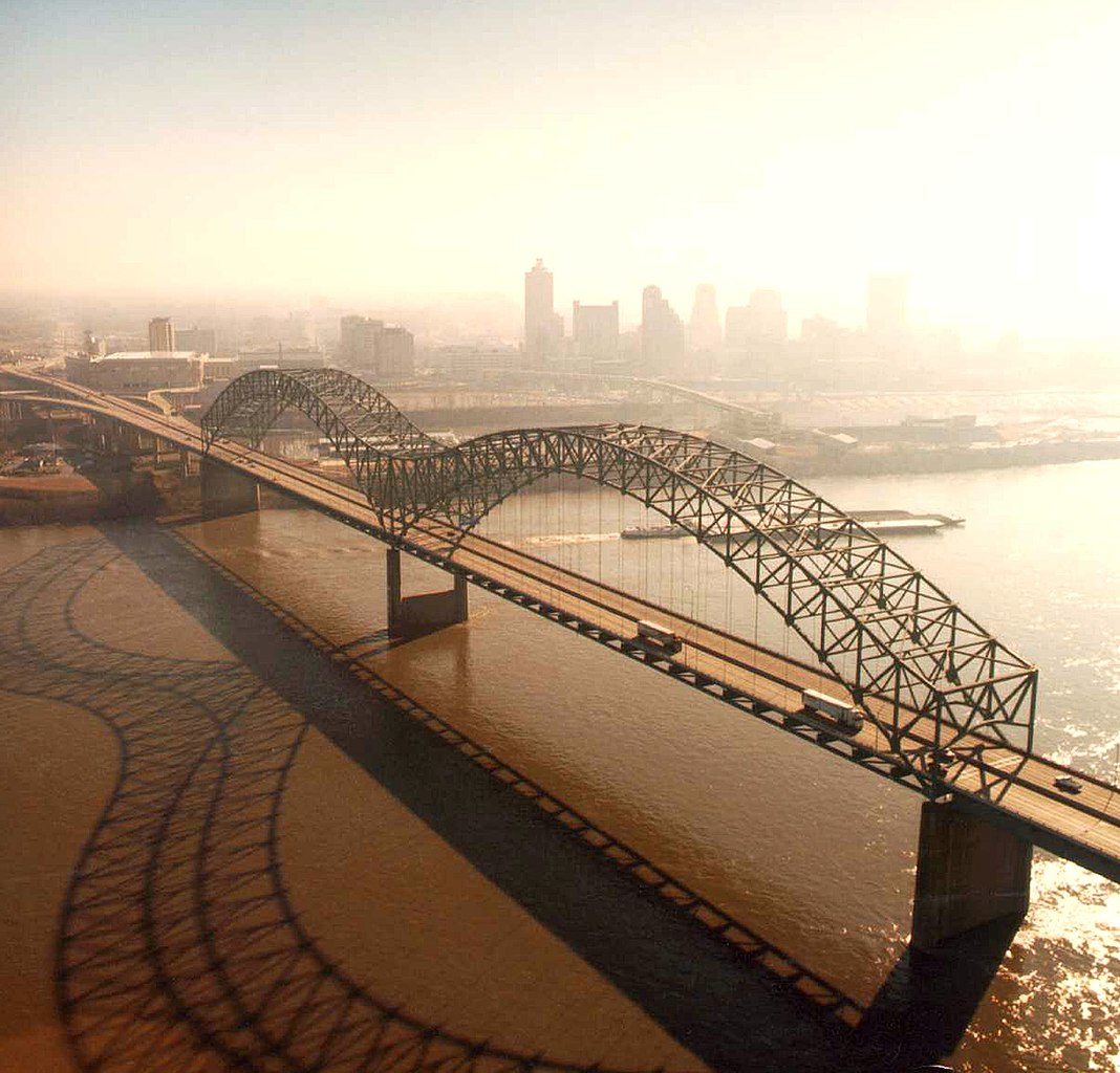
English: Aerial view of the Hernando de Soto Bridge across the Mississippi River between Memphis, Tennessee and West Memphis, Arkansas, USA. The bridge was opened in 1973 and carries six lanes of Interstate-40 across the river. View is from the Arkansas side to the east-southeast across the river to Memphis.
At thumbnail size, image appears clear, at the size on the image page small artifacts can be seen, but at 100% (actual size) the image is heavily artifacted with JPG compression blocks over the entire photograph. |
|||
| تاریخ | ||||
| منبع |
U.S. Army Corps of Engineers Digital Visual Library Image page Image description page Digital Visual Library home page |
|||
| پدیدآور | Larry Donald, U.S. Army Corps of Engineers | |||
| اجازهنامه (استفادهٔ مجدد از این پرونده) |
|
|||
| مکان | Memphis, Tennessee, USA |
| مختصات دوربین | | محل قرارگیری این نگاره و سایر نگارهها در: نقشهٔ شهری باز |
|---|
تاریخچهٔ پرونده
روی تاریخ/زمانها کلیک کنید تا نسخهٔ مربوط به آن هنگام را ببینید.
| تاریخ/زمان | بندانگشتی | ابعاد | کاربر | توضیح | |
|---|---|---|---|---|---|
| کنونی | ۶ آوریل ۲۰۰۷، ساعت ۰۱:۳۴ | | ۱٬۵۰۰ در ۱٬۴۳۸ (۳۹۱ کیلوبایت) | DanMS | {{Information | Description = {{en|Aerial view of the Hernando de Soto Bridge across the Mississippi River between Memphis, Tennessee and West Memphis, Arkansas, USA. The bridge was opened in 1973 and carries six lanes of Interstate-40 across the river |
کاربرد پرونده
صفحهٔ زیر از این تصویر استفاده میکند:
کاربرد سراسری پرونده
ویکیهای دیگر زیر از این پرونده استفاده میکنند:
- کاربرد در ar.wikipedia.org
- کاربرد در arz.wikipedia.org
- کاربرد در ast.wikipedia.org
- کاربرد در bo.wikipedia.org
- کاربرد در cs.wikipedia.org
- کاربرد در de.wikipedia.org
- کاربرد در en.wikipedia.org
- Interstate 40
- Talk:List of longest arch bridge spans
- Wikipedia:What is a featured picture?/Examples of technical problems
- Image quality
- Interstate 40 in Tennessee
- Wikipedia:Featured picture candidates/January-2008
- Wikipedia:Featured picture candidates/Image:Hernando de Soto Bridge Memphis.jpg
- Culture of Memphis, Tennessee
- کاربرد در en.wikivoyage.org
- کاربرد در eo.wikipedia.org
- کاربرد در es.wikipedia.org
- کاربرد در fr.wikipedia.org
- کاربرد در fr.wikibooks.org
- کاربرد در fy.wikipedia.org
- کاربرد در gl.wikipedia.org
- کاربرد در gu.wikipedia.org
- کاربرد در hi.wikipedia.org
- کاربرد در hu.wikipedia.org
- کاربرد در id.wikipedia.org
- کاربرد در io.wikipedia.org
- کاربرد در ja.wikipedia.org
- کاربرد در la.wikipedia.org
- کاربرد در mr.wikipedia.org
- کاربرد در pl.wikipedia.org
- کاربرد در ru.wikipedia.org
- کاربرد در sh.wikipedia.org
- کاربرد در ta.wikipedia.org
نمایش استفادههای سراسری از این پرونده.