
پرونده:Australia Victoria Indigo Shire location map.svg

حجم پیشنمایش PNG این SVG file:۵۳۵ × ۳۶۳ پیکسل کیفیتهای دیگر: ۳۲۰ × ۲۱۷ پیکسل | ۶۴۰ × ۴۳۴ پیکسل | ۱٬۰۲۴ × ۶۹۵ پیکسل | ۱٬۲۸۰ × ۸۶۸ پیکسل | ۲٬۵۶۰ × ۱٬۷۳۷ پیکسل.
پروندهٔ اصلی (پروندهٔ اسویجی، با ابعاد ۵۳۵ × ۳۶۳ پیکسل، اندازهٔ پرونده: ۵۷۵ کیلوبایت)
این پرونده در ویکیانبار موجود است. محتویات صفحهٔ توصیف آن در زیر نمایش داده میشود. |
| توضیح |
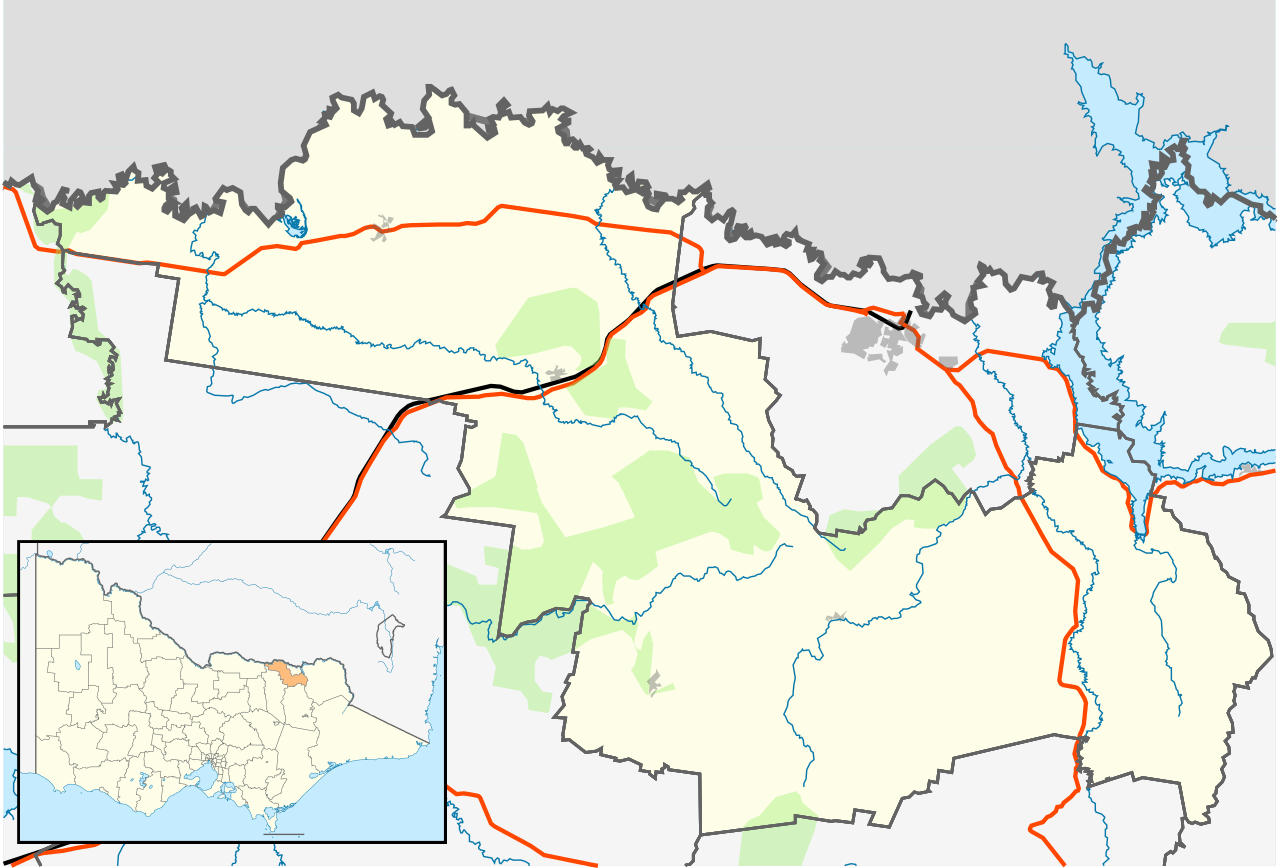
English: Blank map of w:Indigo Shire, Victoria, Australia, with the following information shown:
Geographic limits:
|
||
| منبع | اثر شخصی | ||
| پدیدآور | Cassowary |

تاریخچهٔ پرونده
روی تاریخ/زمانها کلیک کنید تا نسخهٔ مربوط به آن هنگام را ببینید.
| تاریخ/زمان | بندانگشتی | ابعاد | کاربر | توضیح | |
|---|---|---|---|---|---|
| کنونی | ۱۷ فوریهٔ ۲۰۱۱، ساعت ۱۶:۰۲ | | ۵۳۵ در ۳۶۳ (۵۷۵ کیلوبایت) | Cassowary | {{Information |Description ={{en|1=Blank map of w:Indigo Shire, Victoria, Australia, with the following information shown: * LGA boundaries * Coastline, lakes and rivers * Roads and railways * Urban areas * Parks Geographic limits: * North: 35.9S |
کاربرد پرونده
صفحهٔ زیر از این تصویر استفاده میکند:
کاربرد سراسری پرونده
ویکیهای دیگر زیر از این پرونده استفاده میکنند:
- کاربرد در ar.wikipedia.org
- کاربرد در ceb.wikipedia.org
- کاربرد در en.wikipedia.org
- Rutherglen, Victoria
- Shire of Indigo
- Yackandandah
- Beechworth
- Tangambalanga
- Allans Flat, Victoria
- Baarmutha, Victoria
- Chiltern, Victoria
- Stanley, Victoria
- Wahgunyah
- Barnawartha, Victoria
- Template:Towns in Indigo Shire
- Indigo Valley, Victoria
- Mudgegonga
- Kergunyah
- Module:Location map/data/Australia Victoria Shire of Indigo/doc
- Staghorn Flat
- Lake Moodemere
- Huon, Victoria
- Gooramadda
- Gundowring
- Kiewa
- Wooragee
- Module:Location map/data/Australia Victoria Shire of Indigo
- User:Viatori/sandbox
- User:ThylacineHunter/LGA
- کاربرد در id.wikipedia.org
- کاربرد در kn.wikipedia.org
- کاربرد در simple.wikipedia.org
- کاربرد در si.wikipedia.org
- کاربرد در tr.wikipedia.org
- کاربرد در uz.wikipedia.org
- کاربرد در war.wikipedia.org