
پرونده:Ashland-Lineville Airport.jpg

اندازهٔ این پیشنمایش: ۶۶۸ × ۵۹۹ پیکسل. کیفیتهای دیگر: ۲۶۸ × ۲۴۰ پیکسل | ۵۳۵ × ۴۸۰ پیکسل | ۸۵۶ × ۷۶۸ پیکسل | ۱٬۱۴۱ × ۱٬۰۲۴ پیکسل | ۱٬۹۶۷ × ۱٬۷۶۵ پیکسل.
پروندهٔ اصلی (۱٬۹۶۷ × ۱٬۷۶۵ پیکسل، اندازهٔ پرونده: ۹۷۳ کیلوبایت، نوع MIME پرونده: image/jpeg)
این پرونده در ویکیانبار موجود است. محتویات صفحهٔ توصیف آن در زیر نمایش داده میشود. |
خلاصه
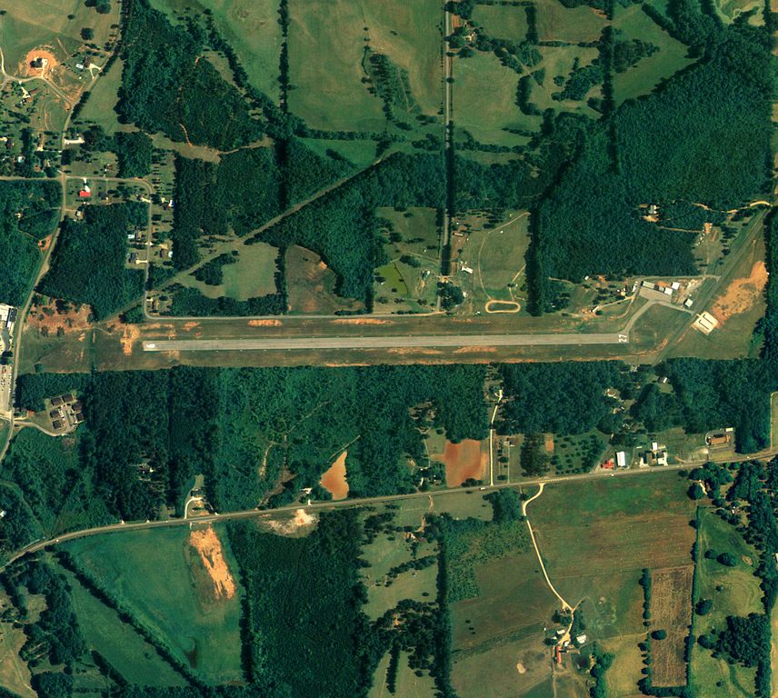
| توضیح | Aerial image of Ashland/Lineville Airport in Ashland, Alabama, United States |
| تاریخ | |
| منبع | National Agriculture Imagery Program (NAIP) Orthoimagery for Zone 16 Alabama State Quarter Quadrangle LINEVILLE WEST, SW and I.D. # n_3308542_sw_16_1_20060615.tif |
| پدیدآور | United States Department of Agriculture (USDA), Farm Services Agency |
| اجازهنامه (استفادهٔ مجدد از این پرونده) |
Public domain |
اجازهنامه
This image or file is a work of a United States Department of Agriculture employee, taken or made as part of that person's official duties. As a work of the U.S. federal government, the image is in the public domain.
|
 |
تاریخچهٔ پرونده
روی تاریخ/زمانها کلیک کنید تا نسخهٔ مربوط به آن هنگام را ببینید.
| تاریخ/زمان | بندانگشتی | ابعاد | کاربر | توضیح | |
|---|---|---|---|---|---|
| کنونی | ۱۲ ژوئن ۲۰۰۹، ساعت ۱۵:۲۴ | | ۱٬۹۶۷ در ۱٬۷۶۵ (۹۷۳ کیلوبایت) | AuburnPilot | == Summary == {{Information |Description=Satellite image of Ashland/Lineville Airport in Ashland, Alabama USA on 15 June 2006 |Source=United States Geological Survey (National Agriculture Imagery Program (NAIP) Orthoimage |
کاربرد پرونده
صفحهٔ زیر از این تصویر استفاده میکند:
کاربرد سراسری پرونده
ویکیهای دیگر زیر از این پرونده استفاده میکنند:
- کاربرد در ceb.wikipedia.org
- کاربرد در en.wikipedia.org
- کاربرد در ru.wikipedia.org
- کاربرد در tg.wikipedia.org
- کاربرد در uk.wikipedia.org
- کاربرد در ur.wikipedia.org
- کاربرد در www.wikidata.org